01OVERVIEW
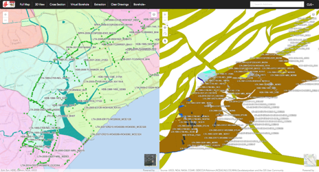
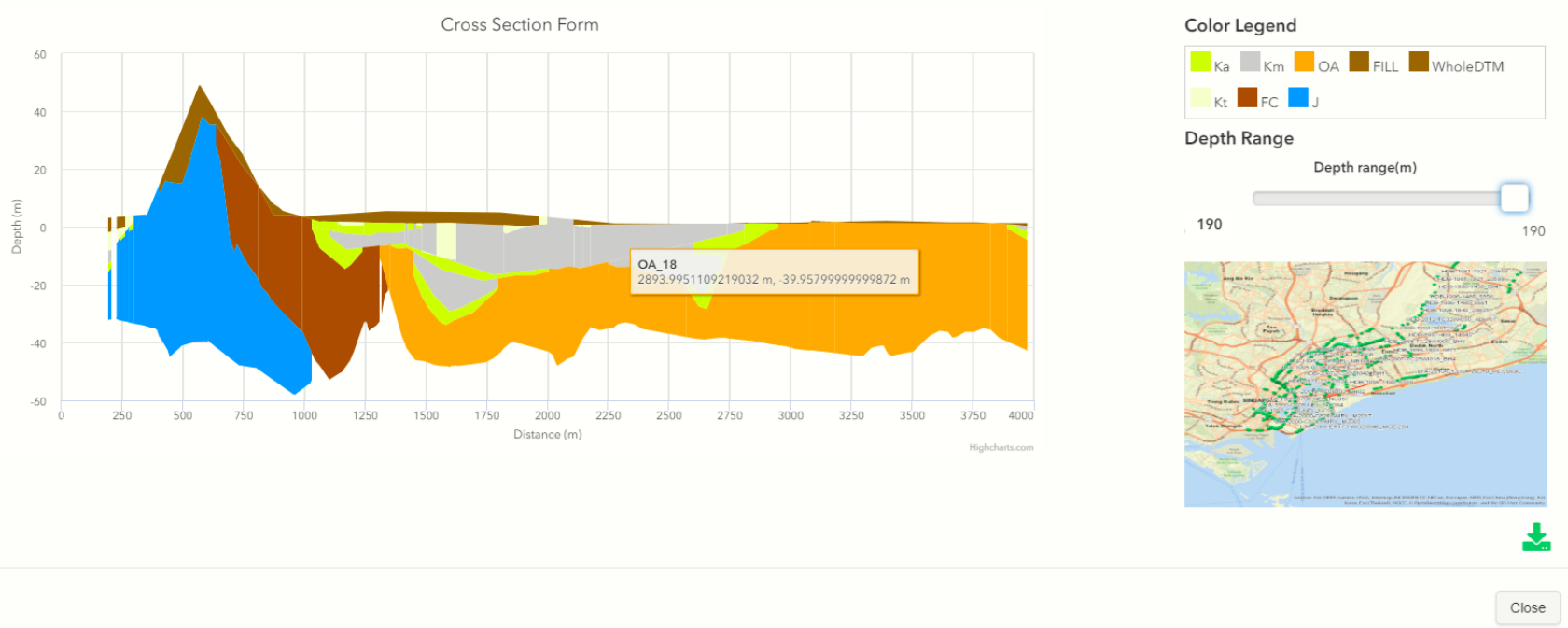
GeM2S turns geological borehole records and geotechnical test data into practical guidance for underground construction. The web-based system models Singapore’s subsurface in 3D, visualises geological hazards such as faults and thrusts, and supports site investigation planning and sensor-based monitoring.
02SCOPE- —3D modelling from borehole and geotechnical test data
- —Visualisation of geological hazards — faults and thrusts
- —Guidance for underground construction
- —Site investigation planning
- —Sensor-based monitoring
- SECTOR
- Underground & Construction
- LOCATION
- Singapore
- TYPE
- System development
- TECHNOLOGY
- 3D GIS · Geological modelling · Web platform
USE CASEUC-01